We’re currently over the Antikythera shipwreck, with the underwater robot (AUV) making the first high resolution digital map of the area using multi-beam sonar.
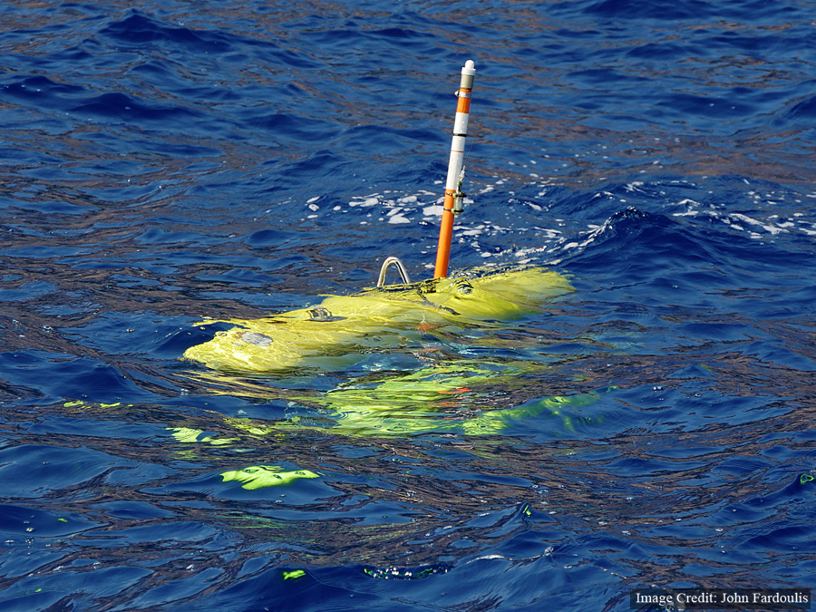
Here’s the robot, minutes before diving to 15 metres above the bottom of the seabead to create a sonar map of the Antikythera shipwreck.
It will do various missions, next taking stereo photographs to create a detailed 3D model of the site.
This update was provided live off the support vessel POSEIDON, at sea, over the top of the Antikythera shipwreck using Cosmote 4G technology.
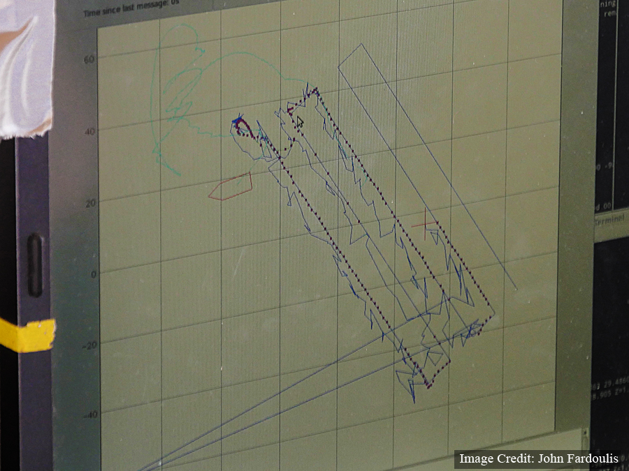
Tracking the underwater robot (AUV).
The team from the Australian Centre for Field Robotics, creating history.
Dr. Dimitri Kourkoumelis arrived at 3.30am this morning and is on board POSEIDON, supervising on behalf of the Ephorate of Underwater Antiquities.
Cosmote has provided the technology which broadcasts this update from at sea, over the Antikythera shipwreck.